.02
Our Services
ALTA / NSPS LAND TITLE SURVEYS

Working with Real Estate Attorneys, Title Insurance Companies & Lending Institutions to provide current surveys that address concerns and issues raised by a thorough Title Search.
BOUNDARY & TOPOGRAPHIC SURVEYS
To Assist other professionals in Design and Site Development. Our digital files are utilized as complete base maps to facilitate the design process.

HAZMAT SURVEYS
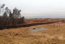
Providing 40 hour Hazmat trained and medically monitored personnel to provide surveying and mapping on identified Hazardous Waste Sites in compliance with 29 cfr. 1910.120.
LOCATION & AS-BUILT SURVEYS

Surveys that show existing site conditions at a given point in time. These surveys can be represented on a map in two dimensional or three dimensional formats. These maps are also available in a wide range of digital formats.
CONSTRUCTION STAKING
Construction staking for Buildings, Roads, Airports, Solar Farms, Renewable Energy sites, Utility Lines and other infrastructure.


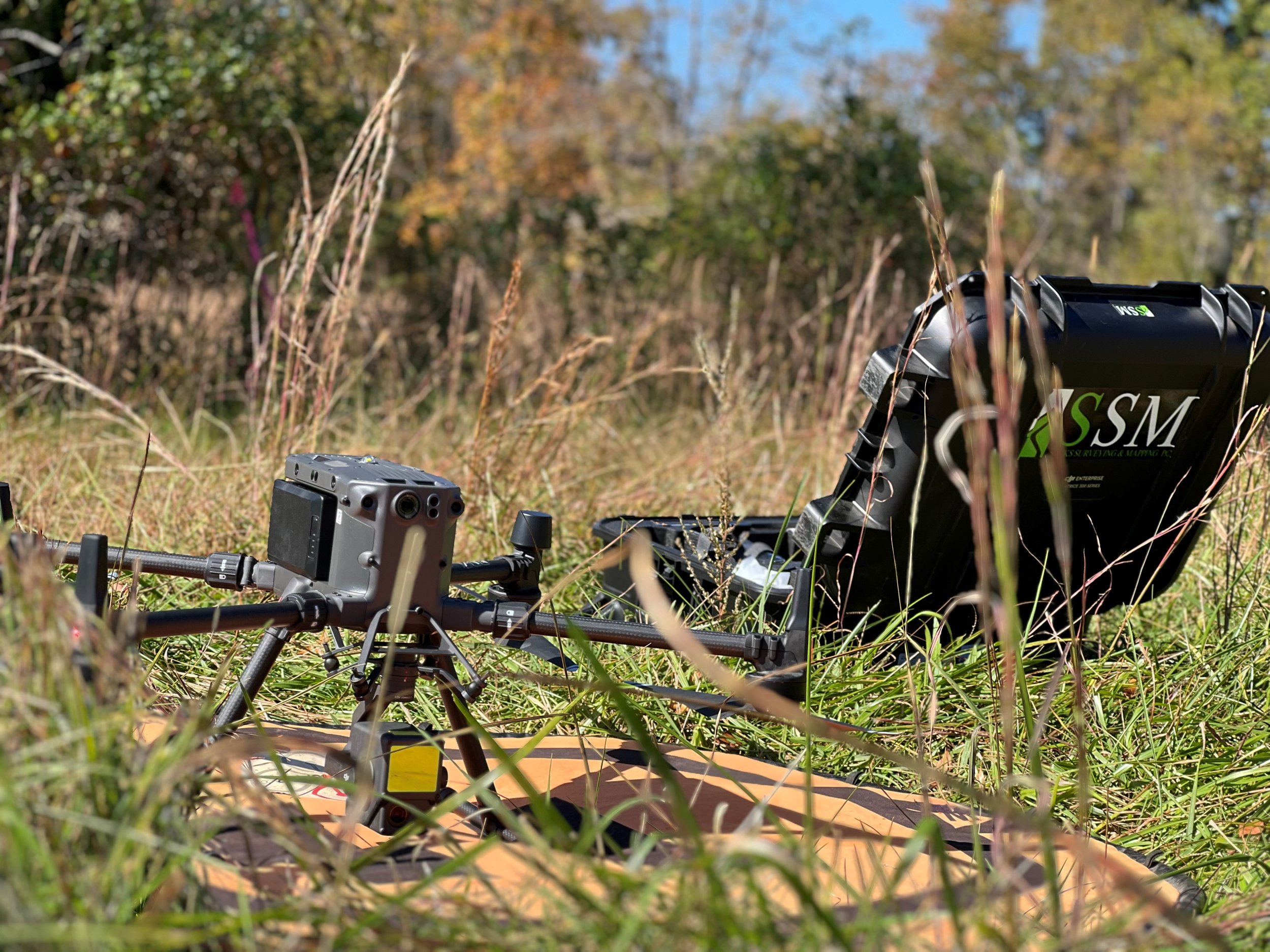
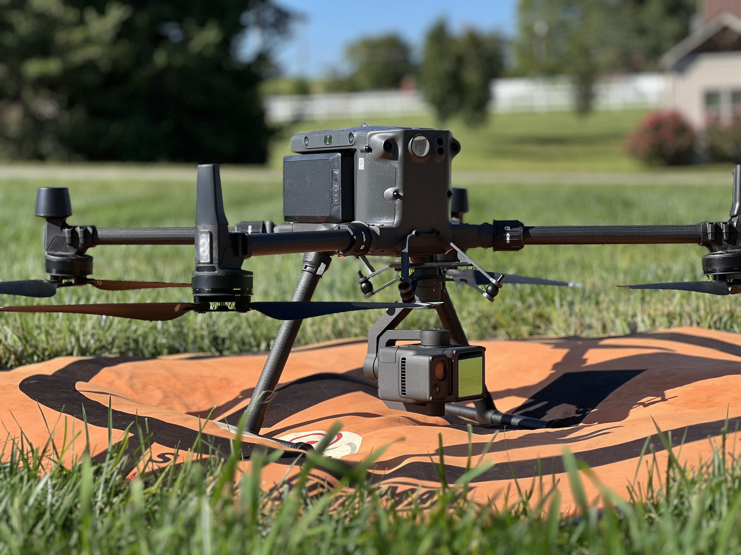

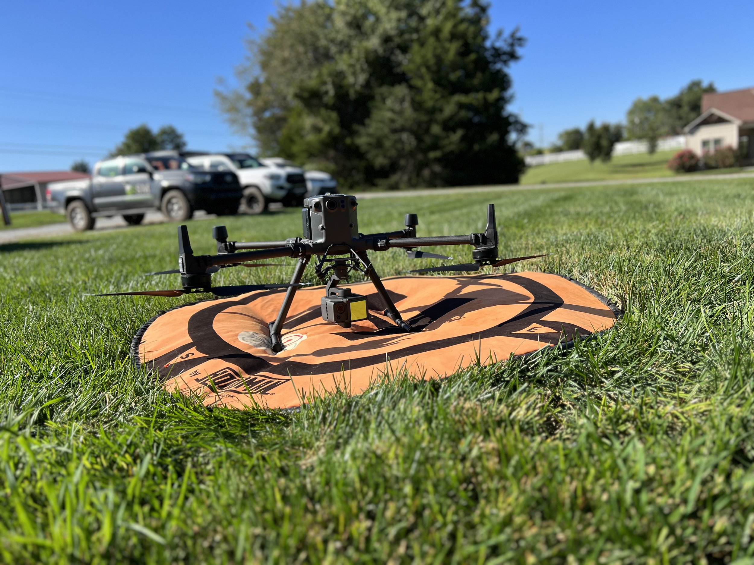

AUTONOMOUS UAS AND ROBOTIC ACQUISITIONS
Using the latest in survey-grade high accuracy autonomous equipment to obtain faster, more reliable data that is a more cost efficient solution for our clients.

Pix4D Certified
“Sacks Surveying and Mapping provides professional surveying services primarily to the commercial segment of the real estate & construction industry. We work closely with Real Estate Attorneys, Commercial Brokers, Architects, Engineers, Bankers and Contractors assisting in Site Acquisition, Due Diligence Assessment, Development, Construction Staking Services & Post-Construction As-Builts. ”